Repository navigation
2.4.0 — The map that loads everywhere, and the ground that holds

Folds in and replaces 2.3.1 — everything here shipped since 2.3.0.
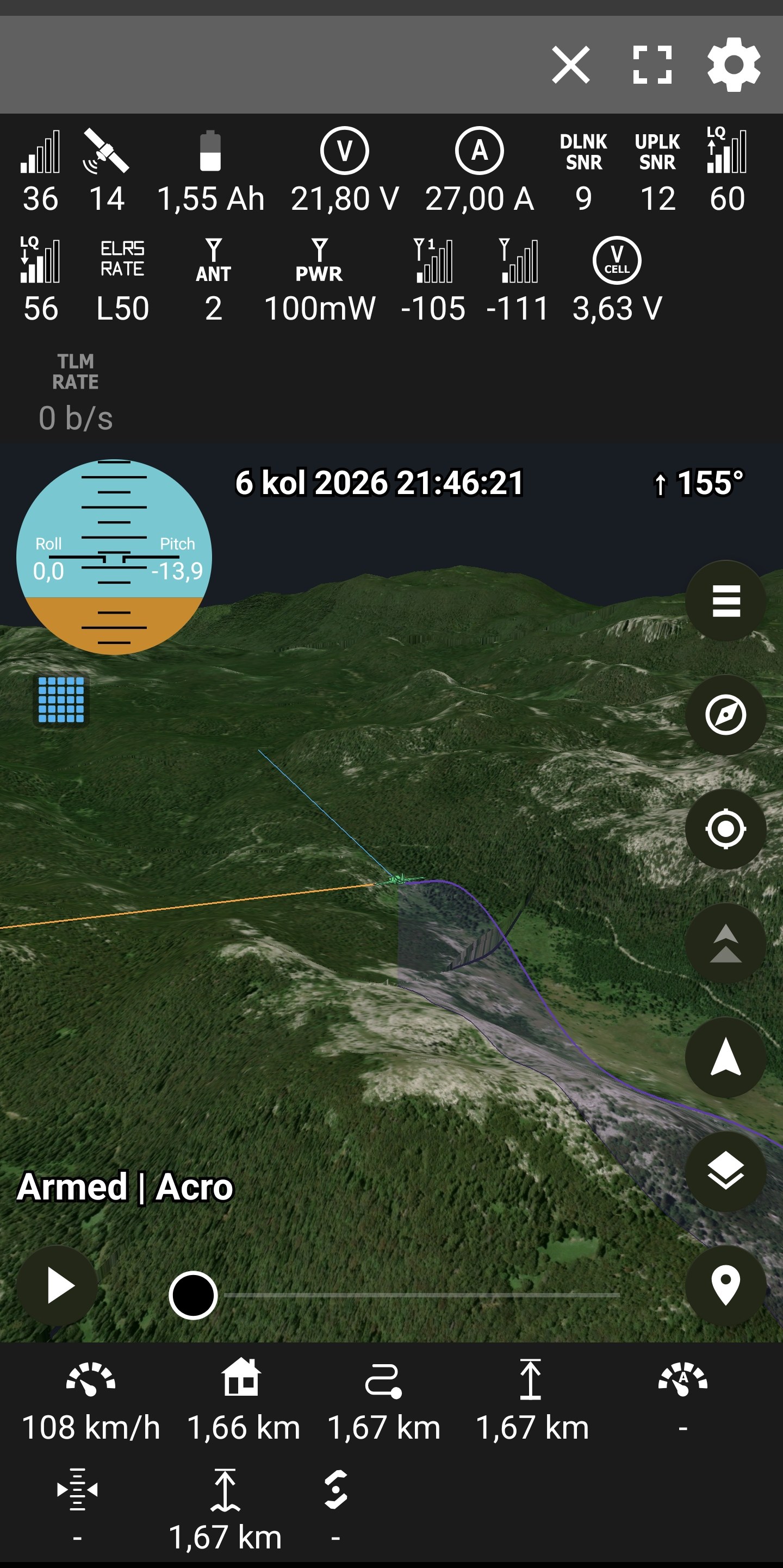
- The 2D map is fixed. It could go grey everywhere except under the drone. The cause was the location arrows' special native layer, which stopped raster tiles on some devices — the arrows are ordinary map symbols now, same look, and the ground loads wherever you look.
- The world follows the flight. A flight further than fifty kilometres away re-anchors the 3D world to itself instead of playing out over a void. Beyond the world's edge the locate button says so, and the arrows wait until they are back inside.
- The walls come down. Level boundaries morph exactly onto the coarser neighbour's line, finished at the distance where that neighbour can first stand, and every picture change dissolves.
- Loading serves the eye. The nearest missing ground builds first and shows the moment it is finished: the shape of the mountains in the first second, photographs one tile at a time from underfoot outward.
- The world survives everything but distance. Switching views parks the 3D world instead of destroying it — back in a couple of seconds instead of twenty — and connecting, opening a replay or closing one keeps the standing ground whenever the flight, or you, are within fifty kilometres of it. Only a subject further than that rebuilds the world where it is needed.
- Memory-stable by audit. Mesh arrays die after their one GPU upload, pictures decode at the size asked, every queue and cache is bounded — the heap that lived at ninety percent now idles near a third.
- Smaller and honest: both arrows stand on the drawn ground and ride it down as detail arrives; chase and follow say when there is no flight to hold instead of pointing at nothing; Home from the settings no longer strands the app; the satellite map stops at zoom 18, where the imagery's real pictures end.