Build CesiumJS 3D globe visualizations entirely in Python.


cesiumkit gives you a Pythonic, object-oriented API for CesiumJS -- the leading open-source JavaScript library for 3D globes and maps. Define entities, materials, camera views, terrain, imagery, and time-dynamic animations in pure Python, then render them in the browser with a single call.
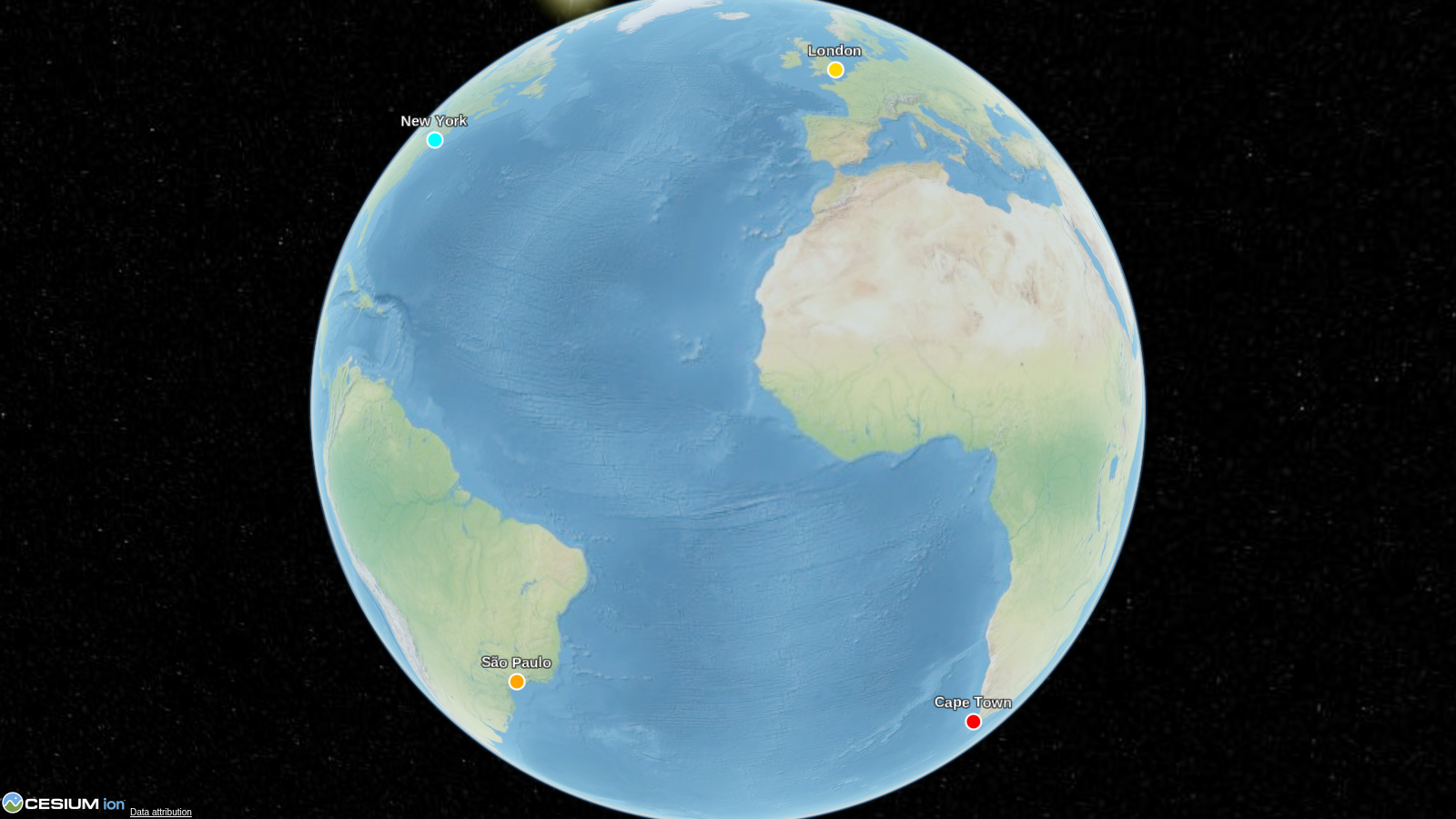
import cesiumkit

viewer = cesiumkit.Viewer(title="Hello Globe")
viewer.add_entity(cesiumkit.Entity(
    name="New York",
    position=cesiumkit.Cartesian3.from_degrees(-74.006, 40.7128, 400),
    point=cesiumkit.PointGraphics(pixel_size=12, color=cesiumkit.Color.RED),
))
viewer.show()  # opens in your browser
That's it -- 6 lines from Python to a 3D globe in the browser.
 |
 |
 |
 |
 |
More → |
pip install cesiumkitRequires Python 3.10+. No external binary dependencies.
For GeoPandas / Shapely support:
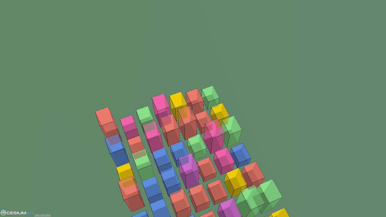
pip install cesiumkit[gis]Drop a GeoDataFrame onto the globe in one call. Auto-reprojects to WGS84,
handles mixed geometry types, supports per-feature styling from columns.
import geopandas as gpd
import cesiumkit

gdf = gpd.read_file("countries.geojson")
viewer = cesiumkit.Viewer()
viewer.add_geodataframe(
    gdf,
    name_column="NAME",
    color_column="color_hex",
    extruded_height_column="gdp",   # polygons become 3D prisms
    fill_alpha=0.5,
)
viewer.show()
Shapely geometries are also auto-converted anywhere cesiumkit expects
positions — pass a shapely.Point directly to Entity(position=...) or a
shapely.Polygon to PolygonGraphics(hierarchy=...).
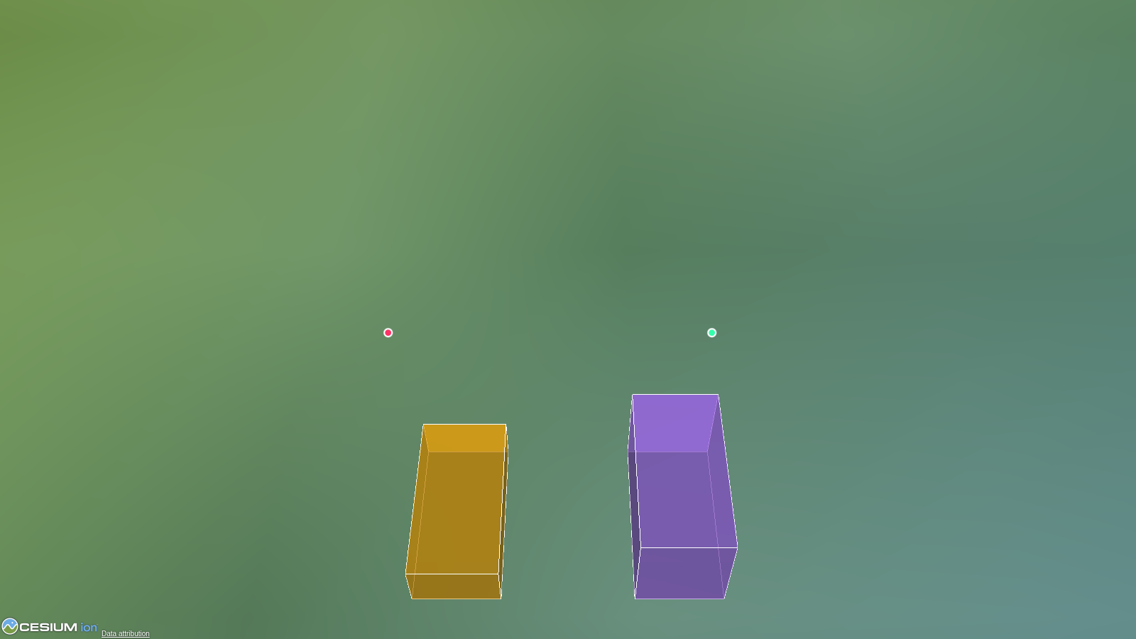
Points, billboards, labels, polygons, polylines, boxes, cylinders, ellipses, ellipsoids, corridors, walls, rectangles, paths, polyline volumes, and 3D models -- all as clean Python objects.
viewer.add_entity(cesiumkit.Entity(
    name="Headquarters",
    position=cesiumkit.Cartesian3.from_degrees(-77.0369, 38.9072, 0),
    polygon=cesiumkit.PolygonGraphics(
        hierarchy=[
            cesiumkit.Cartesian3.from_degrees(-77.04, 38.91),
            cesiumkit.Cartesian3.from_degrees(-77.03, 38.91),
            cesiumkit.Cartesian3.from_degrees(-77.035, 38.905),
        ],
        material=cesiumkit.Color.CORNFLOWERBLUE.with_alpha(0.6),
        extruded_height=200,
    ),
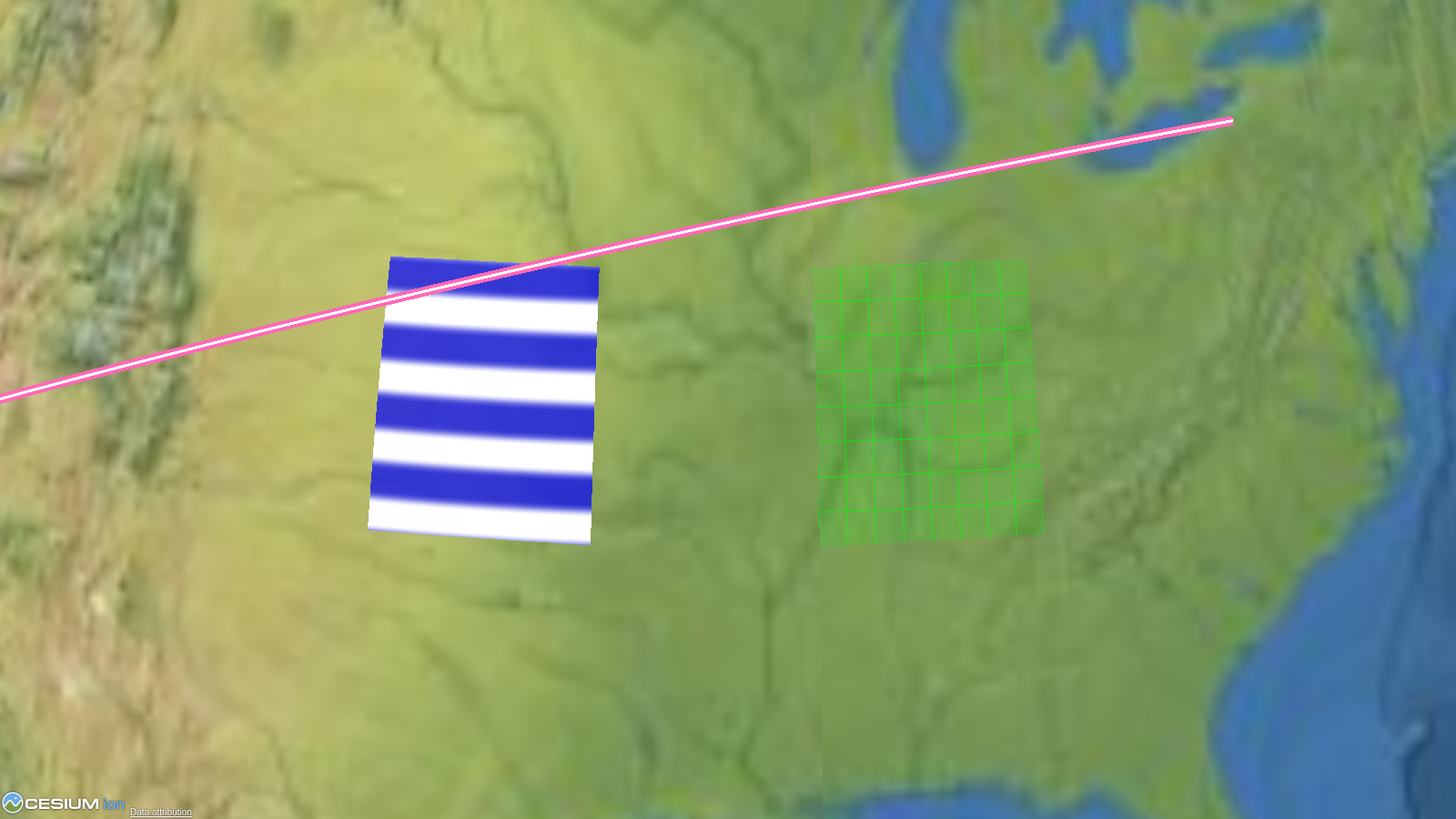
))Solid colors, images, grids, stripes, checkerboards, and polyline-specific materials (glow, arrow, dash, outline).
cesiumkit.StripeMaterial(
    orientation=cesiumkit.StripeOrientation.HORIZONTAL,
    even_color=cesiumkit.Color.WHITE,
    odd_color=cesiumkit.Color.BLUE,
    repeat=5,
)Animate entities along paths using sampled position properties with configurable interpolation.
prop = cesiumkit.SampledPositionProperty(interpolation_degree=2)
prop.add_sample(cesiumkit.JulianDate.from_iso8601("2024-01-01T00:00:00Z"),
                cesiumkit.Cartesian3.from_degrees(-122.4, 37.8, 10000))
prop.add_sample(cesiumkit.JulianDate.from_iso8601("2024-01-01T01:00:00Z"),
                cesiumkit.Cartesian3.from_degrees(-73.9, 40.7, 10000))
entity = cesiumkit.Entity(name="Flight", position=prop,
path=cesiumkit.PathGraphics(width=2, material=cesiumkit.Color.YELLOW))Control a running viewer from Python: update the clock and data sources, select or pick entities, receive click callbacks, and capture screenshots.
viewer.set_time("2026-07-14T18:00:00Z")
viewer.set_multiplier(60)
viewer.animate(True)
viewer.on_click(lambda entity_id: print("clicked", entity_id))
See the runtime control guide for the server lifecycle and complete examples.
Load GeoJSON, CZML, and KML directly.
viewer.add_data_source(cesiumkit.GeoJsonDataSource(
    url="https://example.com/data.geojson",
    stroke=cesiumkit.Color.RED,
    fill=cesiumkit.Color.RED.with_alpha(0.3),
))Fly to locations, set fixed viewpoints, or lock the camera to a target.
viewer.fly_to(
    cesiumkit.Cartesian3.from_degrees(2.2945, 48.8584, 1000),
    orientation=cesiumkit.HeadingPitchRoll(heading=0.3, pitch=-0.4, roll=0),
    duration=3.0,
)Build visualizations in Python and export to CZML for use in any CesiumJS application.
czml_string = viewer.to_czml_string(indent=2)
viewer.save_czml("output.czml")8 imagery providers (Bing, OpenStreetMap, Mapbox, WMTS, WMS, URL template, Ion, TileMapService) and terrain providers for Cesium Ion, ellipsoid, and encoded WMS/WMTS heightmaps.
cesiumkit.Ion.set_default_token("your-token-here")
viewer.add_tileset(ion_asset_id=75343) # e.g., NYC 3D buildingsAdd click handlers and custom JavaScript for full interactivity.
viewer.on(
    cesiumkit.ScreenSpaceEventType.LEFT_CLICK,
    cesiumkit.JsCode("""function(click) {
        var picked = viewer.scene.pick(click.position);
        if (Cesium.defined(picked)) viewer.selectedEntity = picked.id;
    }"""),
)- 17 entity graphics types: point, billboard, label, polygon, polyline, box, cylinder, ellipse, ellipsoid, model, corridor, wall, rectangle, path, plane, polyline volume, tileset
- Particle systems: validated scene primitives for smoke, fire, weather, and engine trails
- 9 material types: solid color, image, grid, stripe, checkerboard, polyline glow/arrow/dash/outline
- 148 named colors with
.with_alpha()support - Time-dynamic properties: SampledPositionProperty, SampledProperty, ConstantProperty, TimeIntervalCollectionProperty, ReferenceProperty, CompositeProperty
- Data sources: GeoJSON, CZML, KML, custom
- Imagery providers: Bing, OSM, Mapbox, WMTS, WMS, URL template, Ion, TMS
- Terrain providers: Ion world terrain, Ion asset, ellipsoid, encoded WMS/WMTS heightmaps
- Camera operations: fly_to, set_view, look_at
- CZML export: to_czml_string(), save_czml(), CzmlDocument
- Cesium Ion: token management, 3D Tilesets, terrain
- Scene/Globe configuration: fog, lighting, shadows, depth test, atmosphere, post-processing, terrain exaggeration
- Runtime control: clock, live CZML/GeoJSON, selection, picking, screenshots, and Python click callbacks
- Event handling: ScreenSpaceEventHandler with custom JS or Python callbacks
- Custom JavaScript injection: add_script() for arbitrary JS
- Local HTTP server:
show()launches a server and opens the browser - Works without Ion token: falls back to bundled NaturalEarthII imagery
- Pydantic v2 models: full validation on all inputs
| Module | Key classes |
|---|---|
cesiumkit.Viewer |
Main entry point -- configure, add entities, show |
cesiumkit.Entity |
Container for a named entity with position + graphics |
cesiumkit.Cartesian3 |
3D coordinates, with .from_degrees() helper |
cesiumkit.Color |
148 named colors + RGBA + .with_alpha() |
cesiumkit.*Graphics |
PointGraphics, PolygonGraphics, ModelGraphics, ... |
cesiumkit.*Material |
StripeMaterial, PolylineGlowMaterial, ... |
cesiumkit.*Property |
SampledPositionProperty, ConstantProperty, ... |
cesiumkit.*DataSource |
GeoJsonDataSource, CzmlDataSource, KmlDataSource |
cesiumkit.CzmlDocument |
Build and export CZML documents |
cesiumkit.Ion |
Token management and 3D Tilesets |
The examples/ directory contains 11 runnable scripts:
| # | File | What it shows |
|---|---|---|
| 01 | 01_basic_point.py |
Minimal point on the globe |
| 02 | 02_shapes_and_materials.py |
Points, labels, shapes, and materials |
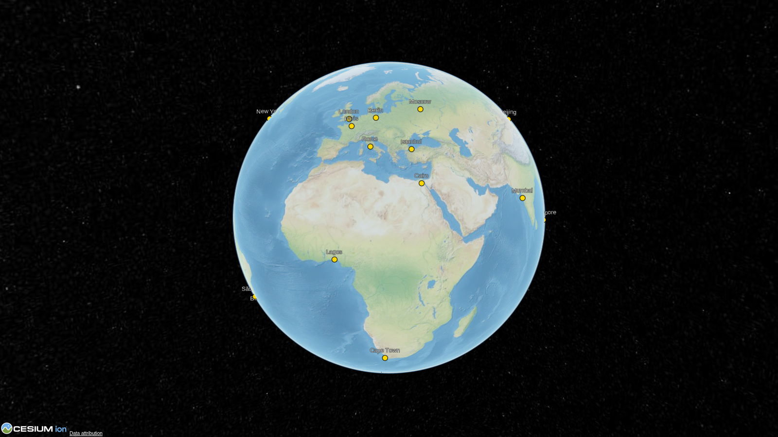
| 03 | 03_multiple_cities.py |
Multiple entities on the globe |
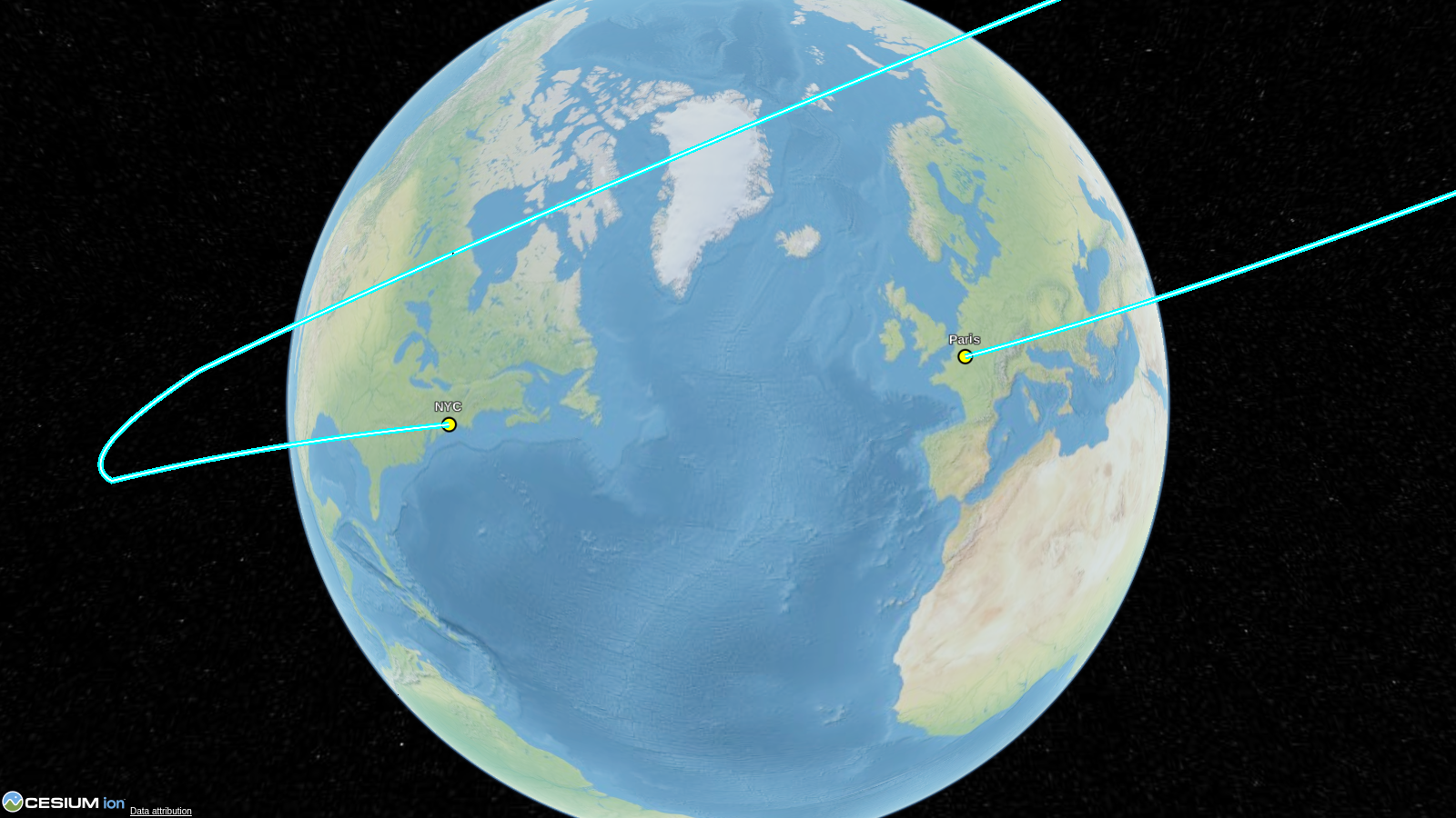
| 04 | 04_time_dynamic_satellite.py |
Animated satellite path with clock |
| 05 | 05_geojson_and_datasources.py |
GeoJSON, CZML, and KML loading |
| 06 | 06_terrain_and_imagery.py |
Terrain and imagery providers |
| 07 | 07_3d_models_and_tilesets.py |
glTF models and 3D Tiles |
| 08 | 08_czml_export.py |
Export entities to CZML format |
| 09 | 09_camera_controls.py |
fly_to, set_view, and look_at |
| 10 | 10_event_handlers.py |
Click events and custom JavaScript |
| 11 | 11_runtime_control.py |
Live controls and Python click callbacks |
Run any example:
python examples/01_basic_point.py
# Opens in browser -- Ctrl+C to stop the serverMany examples work without a token (using bundled offline imagery). For full functionality (Bing imagery, world terrain, 3D Tilesets), get a free token at cesium.com/ion and set it:
cesiumkit.Ion.set_default_token("your-token-here")See CONTRIBUTING.md for development setup, testing, and how to add new entity types.