NaturalEarth
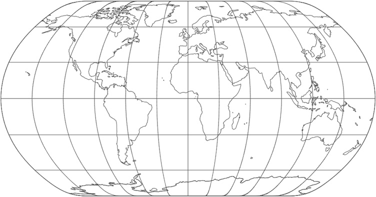
The Natural Earth projection is intended for making world maps. A distinguishing trait is its slightly rounded corners fashioned to emulate the spherical shape of Earth. The meridians (except for the central meridian) bend acutely inward as they approach the pole lines, giving the projection a hint of three-dimensionality. This bending also suggests that the meridians converge at the poles instead of truncating at the top and bottom edges. The distortion characteristics of the Natural Earth projection compare favorably to other world map projections.
The PROJ.4 code for the Natural Earth projection is:
+proj=natearth
See Also: http://www.shadedrelief.com/NE_proj/