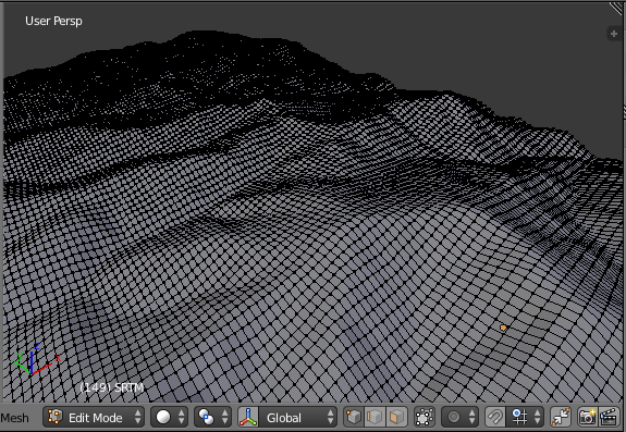
Terrain
blender-osm downloads and imports digital elevation model (DEM) data from files in the SRTM format (.hgt). The open terrain data set used by the addon provides global coverage. The data are prepared by Mapzen company from a number of open terrain data sets and hosted at Amazon Web Services. Sample spacing for individual data points is 1 arc-second (roughly 30 meter) in latitude and longitude. Further information about the terrain data can found here.
Please note, that the data license requires attribution as described here.