09_make_segments
May 2, 2018 - Mike McMahon (mike.mcmahon@dfo-mpo.gc.ca)
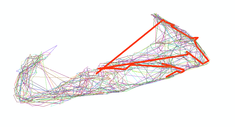
This function takes a dataframe with coordinates in decimal degrees and a track identifier, and creates line segments for each distinct identifier. If specified, it will plot the results in R and/or create shapefiles.
While making segments, you can also generate a shapefile of all of the positions/vertices.
-
points = "all"will create a point shapefile that includes all of the positions. -
points = "none"will not generate a point shapefile. -
points = "orphans"will only create points for those "tracks" that only have a single position
NOTE: To make spatial lines of ISDB data, please check out make_isdb_tracks().
> segments = make_segments(data, objField = "MISSION", seqField = "SETNO",lat.field = "LATITUDE", lon.field = "LONGITUDE")