Field interception efficiency map
This tutorial regards to the automatic calculation of the interception efficiency of the heliostat field. The video below shows a step-by-step video on how to use scripts to automatically generate the field and automatically perform simulations for given combinations of sun elevation and azimuth. The corresponding script is also shown below next to the video. For this example, Tonatiuh++ performs simulations for all the following combinations:
10deg<elevation<270deg with a step of 20deg 180deg<azimuth<270 with a step of 20deg The script reports the result of each simulation at the bottom panel of the scripting editor, but in addition export the results in a .csv file.
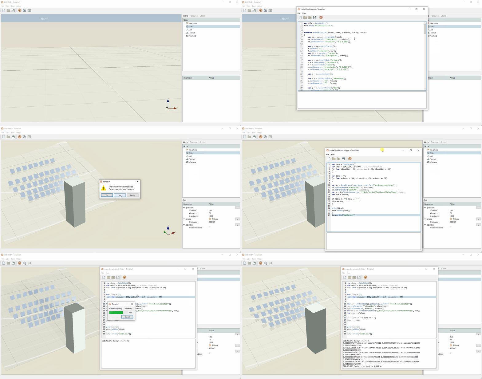
**Script ** var data = DataObject(); var wMax = 502.252.251000; // mirrorsarea*DNI for (var elevation = 10; elevation <= 90; elevation += 20) {
var line = ""; for (var azimuth = 180; azimuth <= 270; azimuth += 20) {
var sp = NodeObject().getScene().getPart("world.sun.position"); sp.setParameter("elevation", elevation); sp.setParameter("azimuth", azimuth); var w = tn.FindInterception("//Node/Script/Receiver/Plate/Shape", 1e6); var eta = w/wMax;
if (line != "") line += " "; line += eta; }
print(line); data.addRow(line); } data.write("table.csv");